This document is by no means a comprehensive collection of functions on Hypar, but it's a good set of useful functionality to try out if you're just getting started.
Site functionality
Location
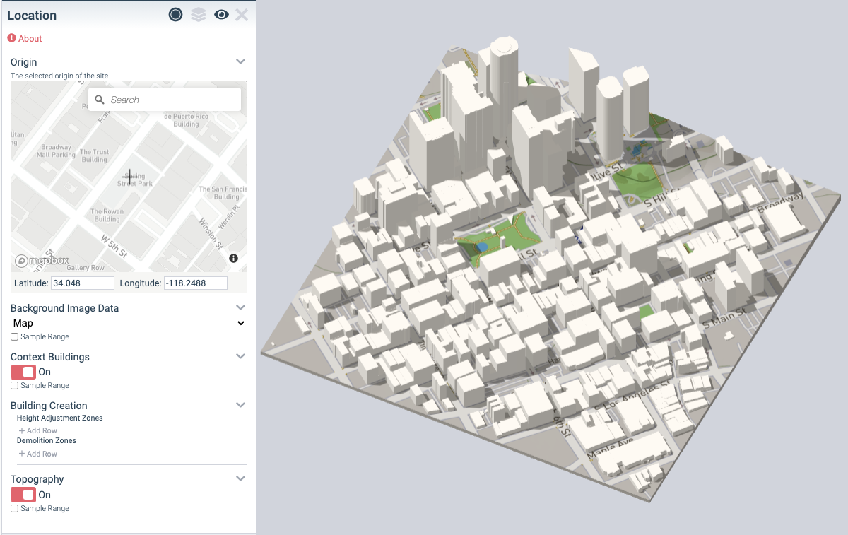
Location lets you fill in an address, and get 3D building and topography context for your project.
Site By Sketch
Site By Sketch lets you draw out a site boundary with a polygonal sketch.

Sunpath Diagram
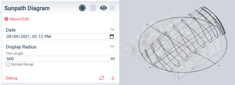
Sunpath Diagram shows you the sun's path for a given location and date.
Massing functionality
Envelope By Sketch
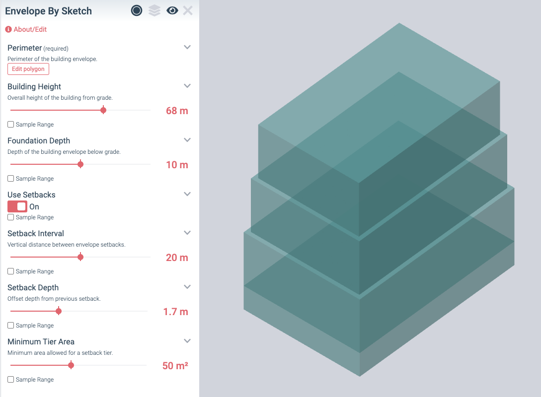
Envelope by sketch lets you draw a straight or stepped building mass, based on a polygon boundary in plan.
Envelope by Centerlines
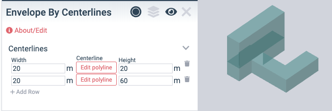
Envelope by Centerlines lets you draw one or more centerlines to produce a building envelope mass.
Sketch Masterplan
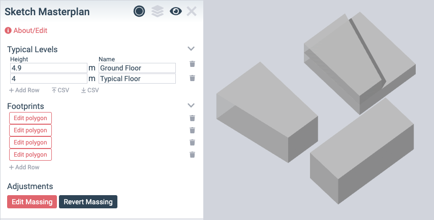
Sketch masterplan is designed to allow quick massing and area studies of multiple building masterplans or campuses.
Building Levels
Simple Levels by Envelope
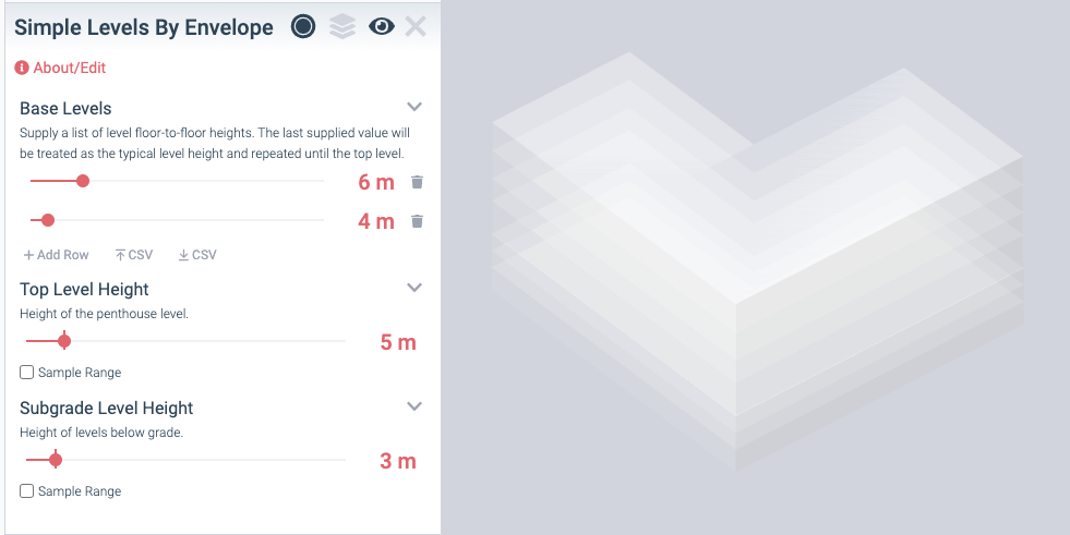
Allows you to define building levels for a building envelope.
Custom Levels
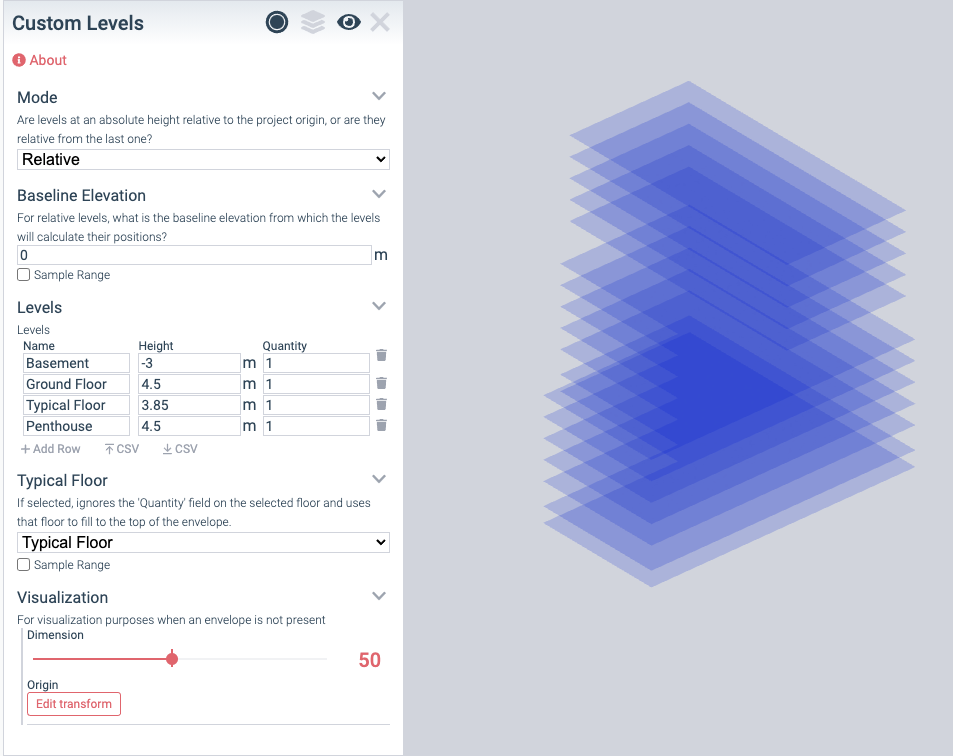
A more advanced function for creating levels, Custom Levels lets you import a CSV, and input levels relatively or absolutely.
Building Floors
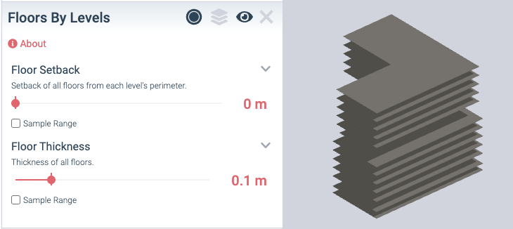
Floors by Levels
Floors by levels creates a floor for every level of your project.
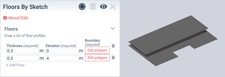
Floors by Sketch
Floors by sketch lets you draw each individual floor manually — useful for detailed space planning studies of one or two floors at a time.
Building Core
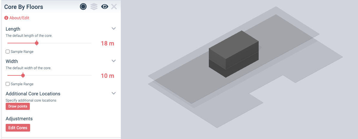
Core By Floors
Core by Floors will generate a best-guess core location given your project's floors, and allow you to add new core areas and change their size and position.
Space Planning
Space Planning Zones
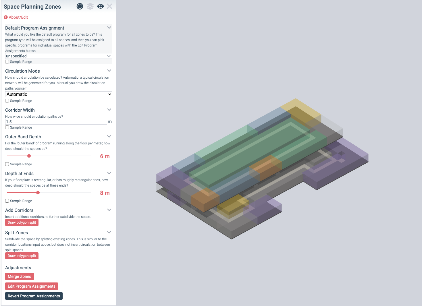
Space Planning Zones — a core component of the HyparSpace workflow — lets you take floors, generate or sketch circulation, and assign different program types to different zones.
